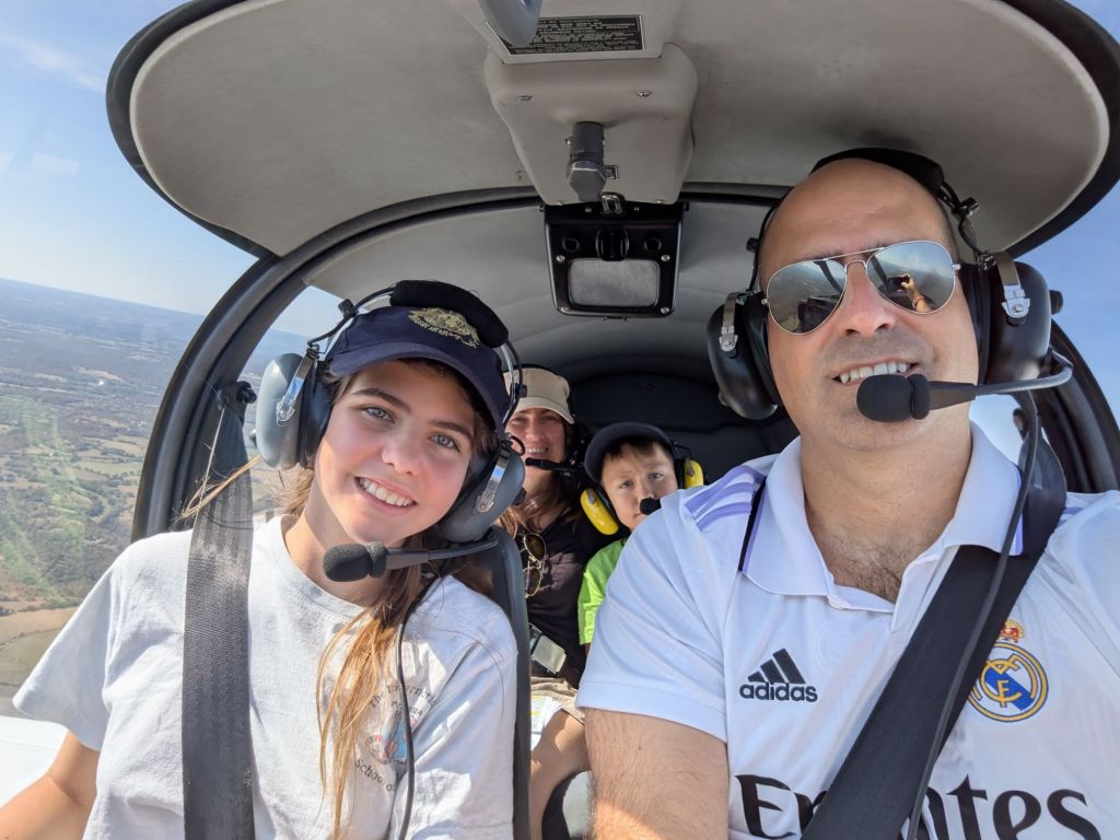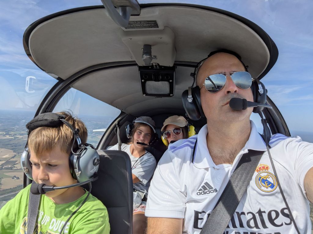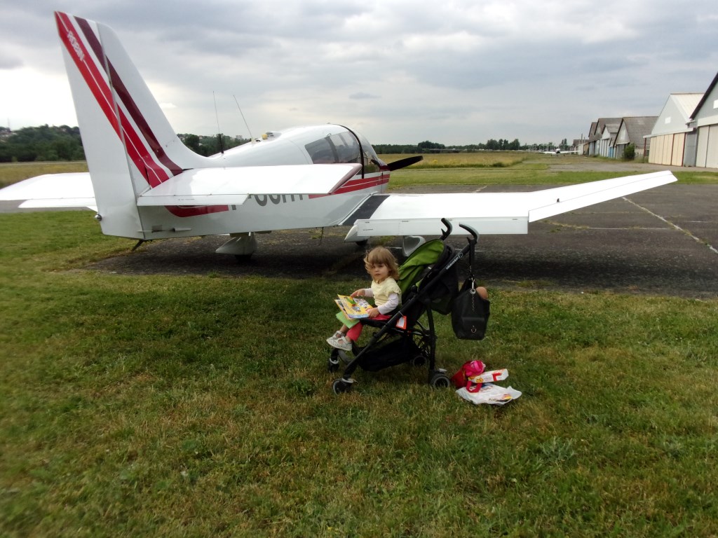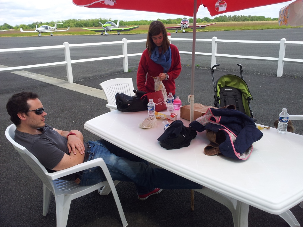
Yesterday, together with my family, we participated in a fly out excursion organized by Jean Claude and his aeroclub du Quercy for members of our Aviation Society. We came with different aircraft to meet at Cahors (LFCC) and from there, Jean Claude had prepared a closed loop circuit around the valleys of the rivers Lot and Dordogne, with several points to spot and some quizzes around the area.
As our aeroclub is based in Toulouse Lasbordes (LFCL) we first had to fly to Cahors, a 40 minute flight.

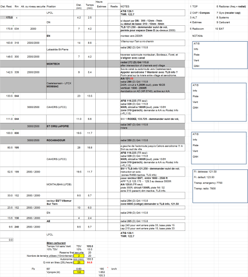
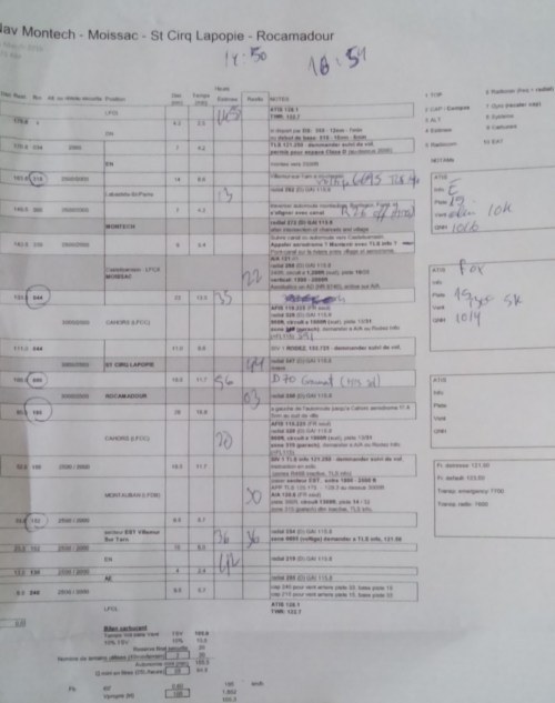
Once at Cahors, we met different members of the local aeroclub and received a last briefing and some advice around the flight. The circuit was divided in 5 sectors.
Sector 1: in this sector we had to spot castles along the Lot, including the Château de Mercués (which belonged to Georges Héreil, former manager at Sud Aviation and father of the Caravelle), the Château de Caïx (acquired by Queen Marguerite II of Denmark, as her husband, prince Henrik, came from the region), Puy l’évêque and the Château de Bonaguil.


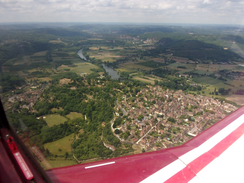
Sector 2: it consisted of flying North to reach the Dordogne, by way of Villefranche du Périgord.
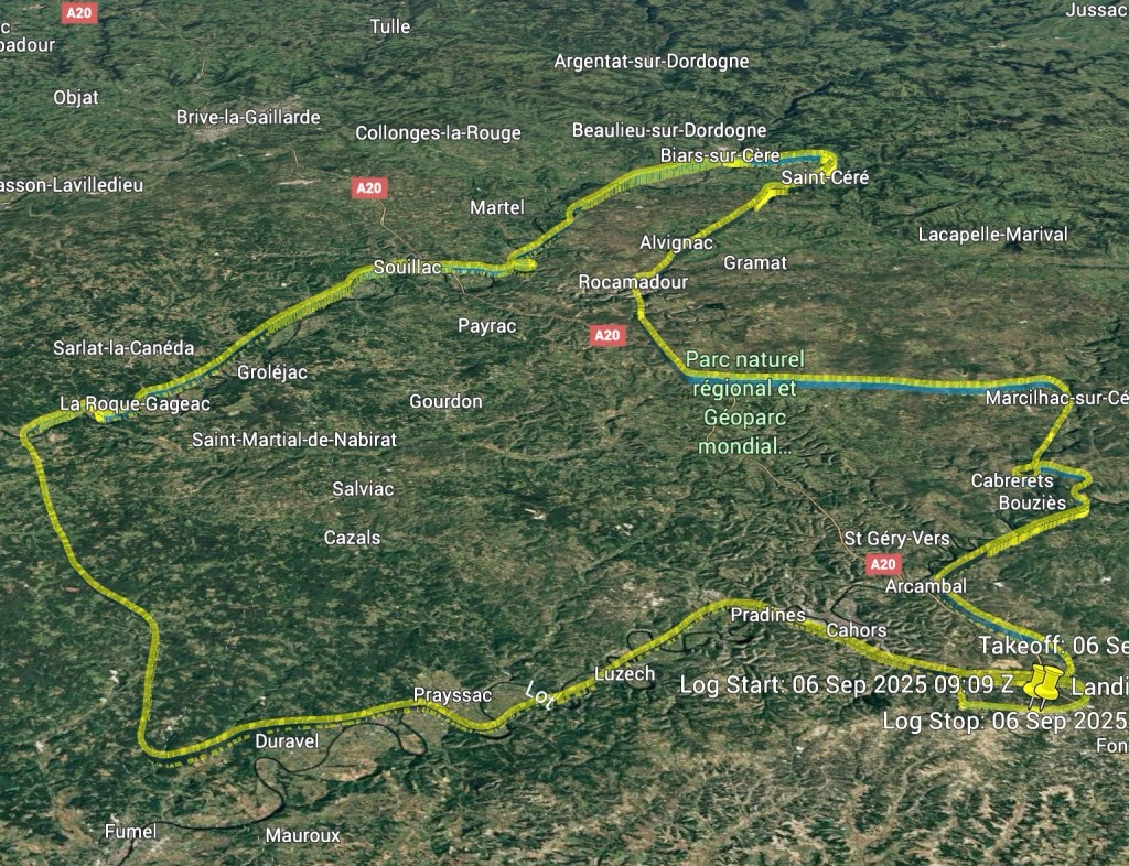
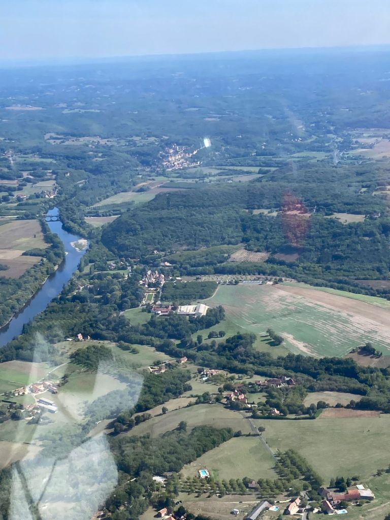
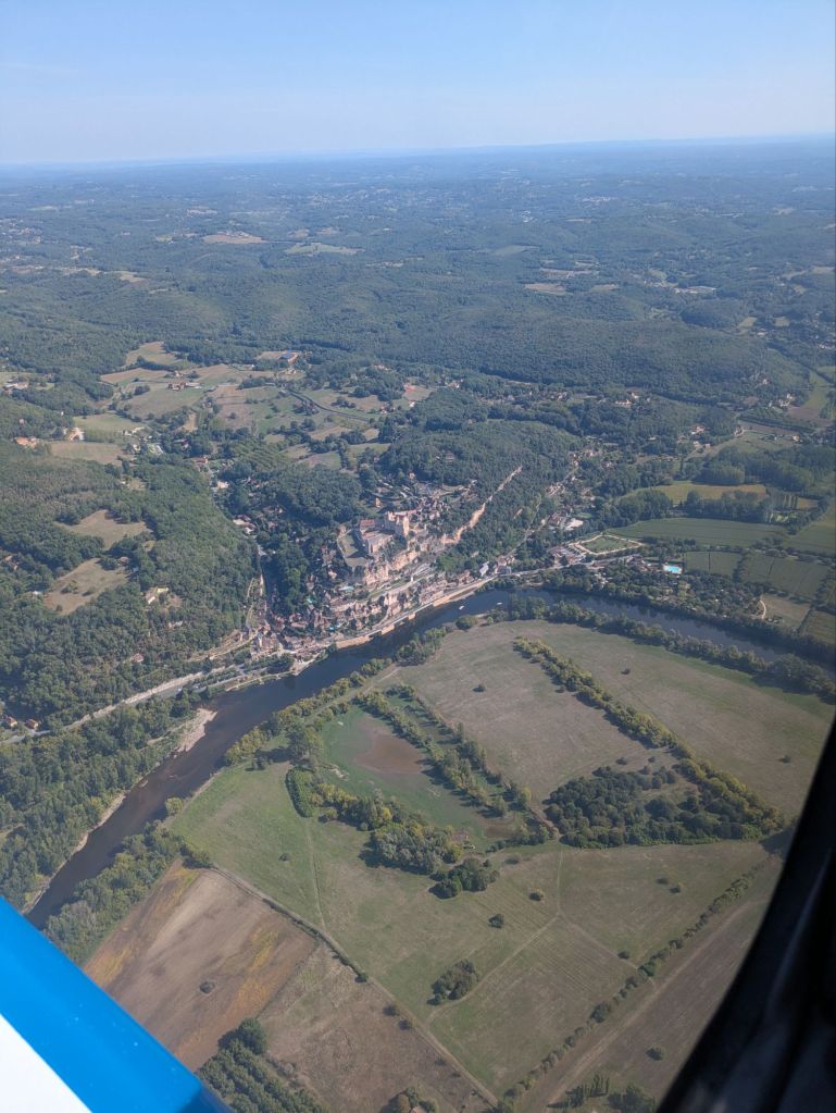
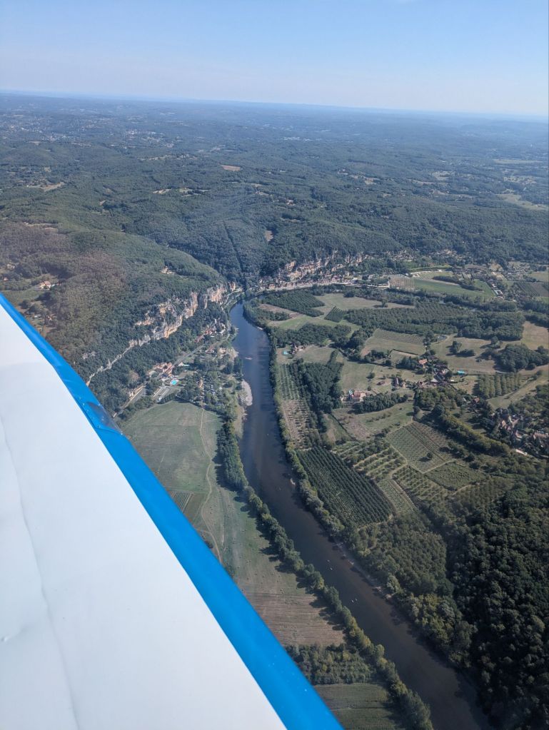
Sector 3: in this sector we had to spot castles along the Dordogne, including the Château des Milandes (which belonged to the American French singer, activist, resistance agent Joséphine Baker – whose remains rest at the Pantheon), Beynac-et-Cazenac, La Roque, Domme, Souillac.

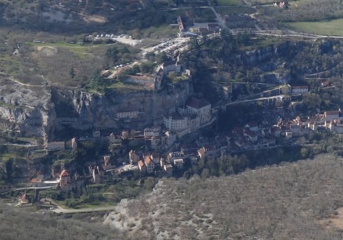
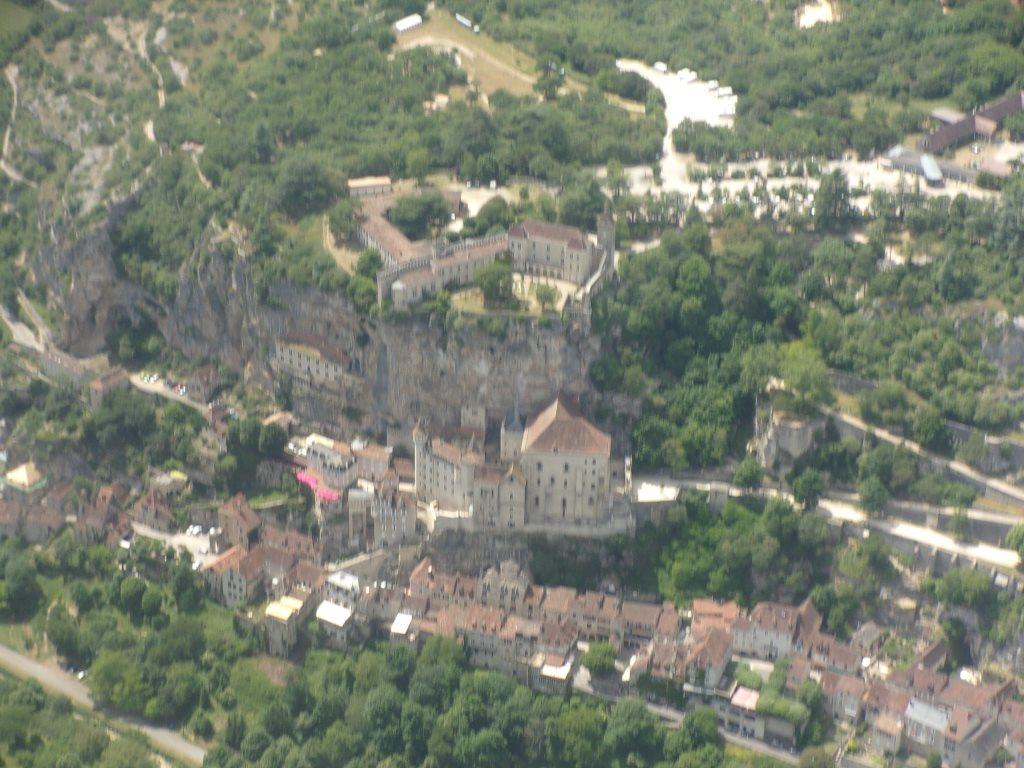
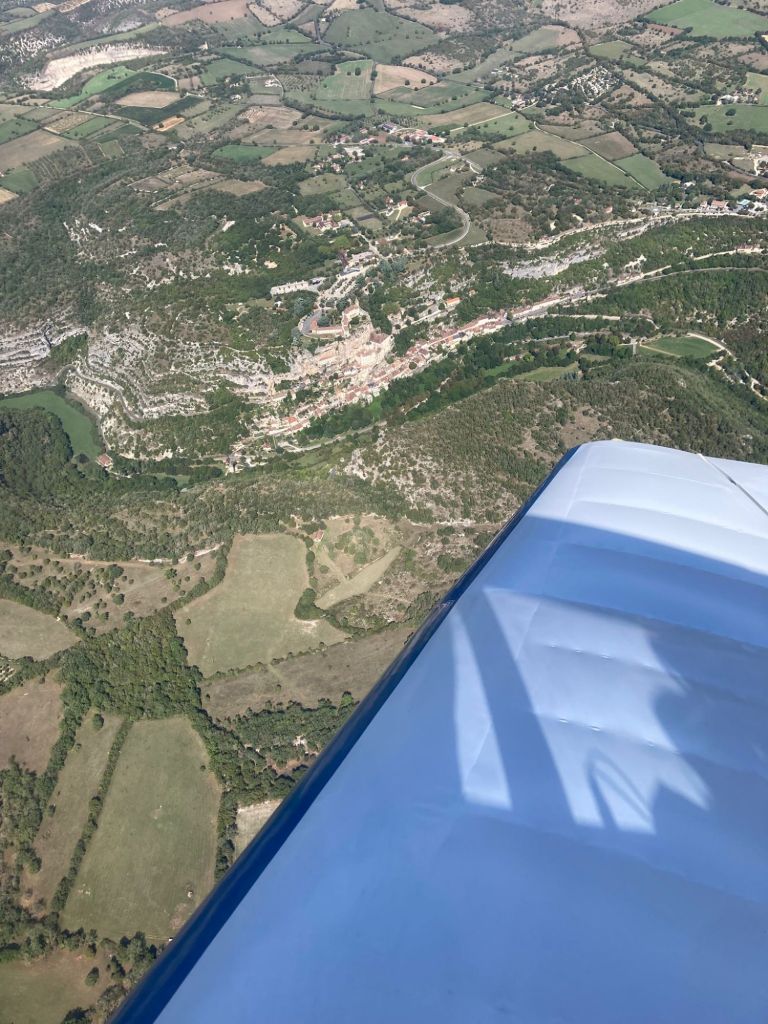
Sector 4: in this sector we had to continue spotting castles along the Dordogne, including Château de la Treyne, Château de Belcastel and Château de Castelnau Bretenoux, we then turner South to fly over Saint Céré (home of the tapestry artist Jean Lurçat), then West towards the fall of Autoire (seemed dry from the air), Rocamadour and Labastide Murat (origin of the Marshal Joachim Murat).
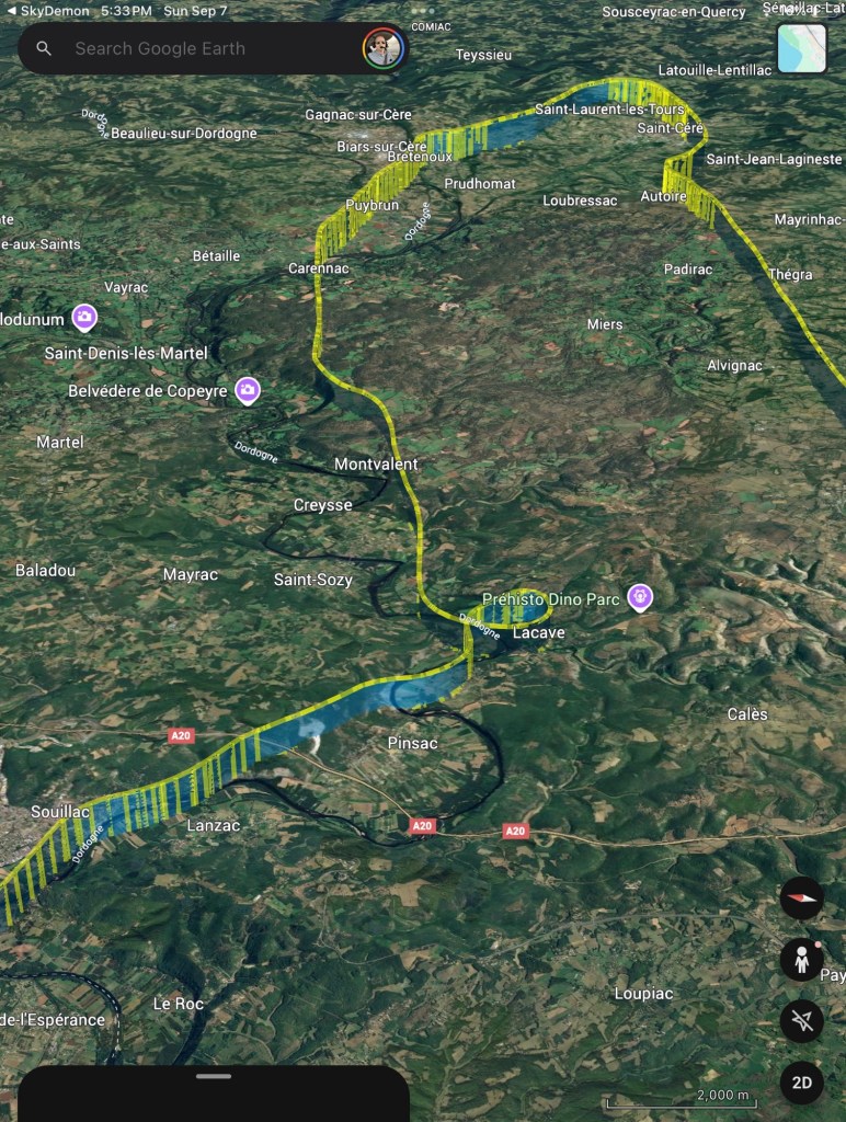

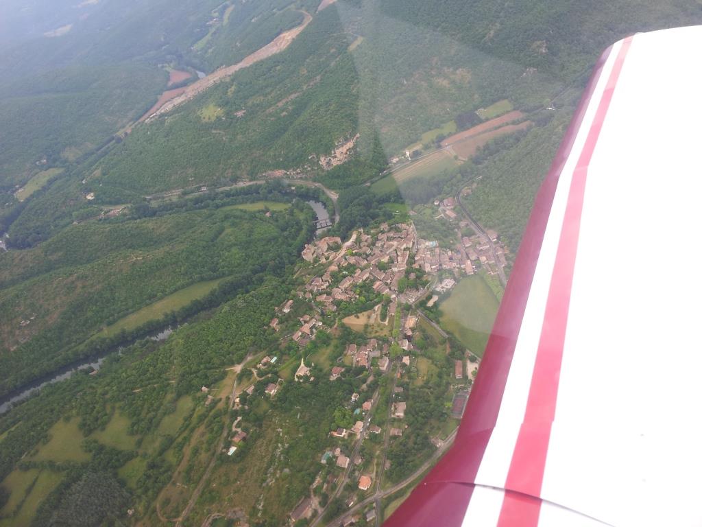
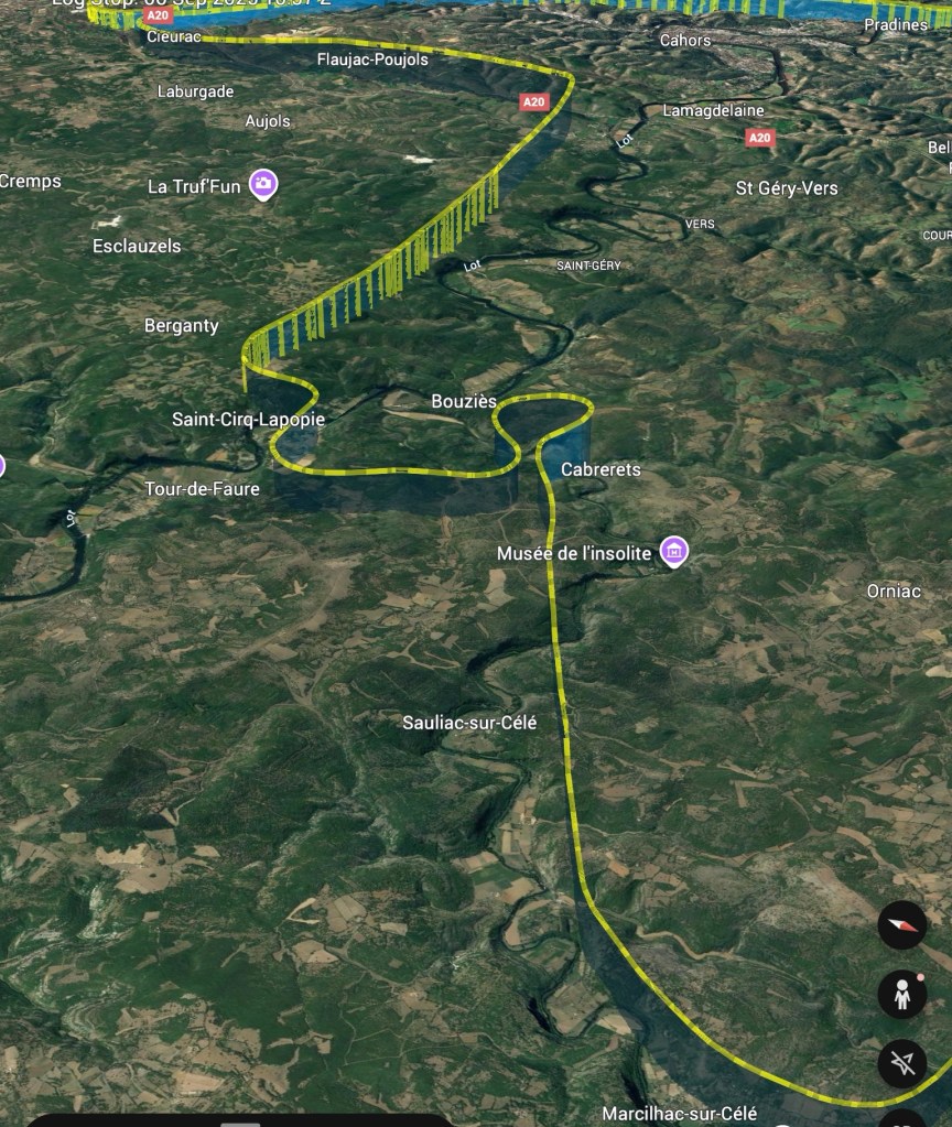
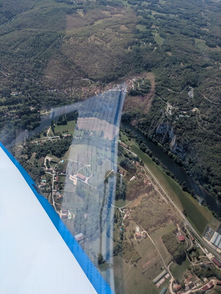
Sector 5: in this sector we went back to the valley of the Lot, by way of Marcilhac sur Célé, Cabrerets (where the Pech Merle cave is located, with its prehistoric cave paintings) and reaching Saint-Cirq-Lapopie. We then flew back to Cahors (birthplace of Leon Gambetta).
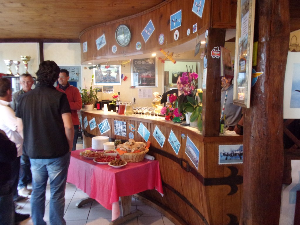
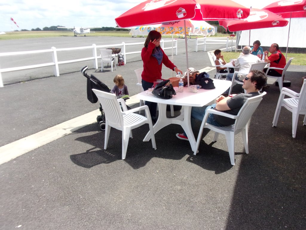
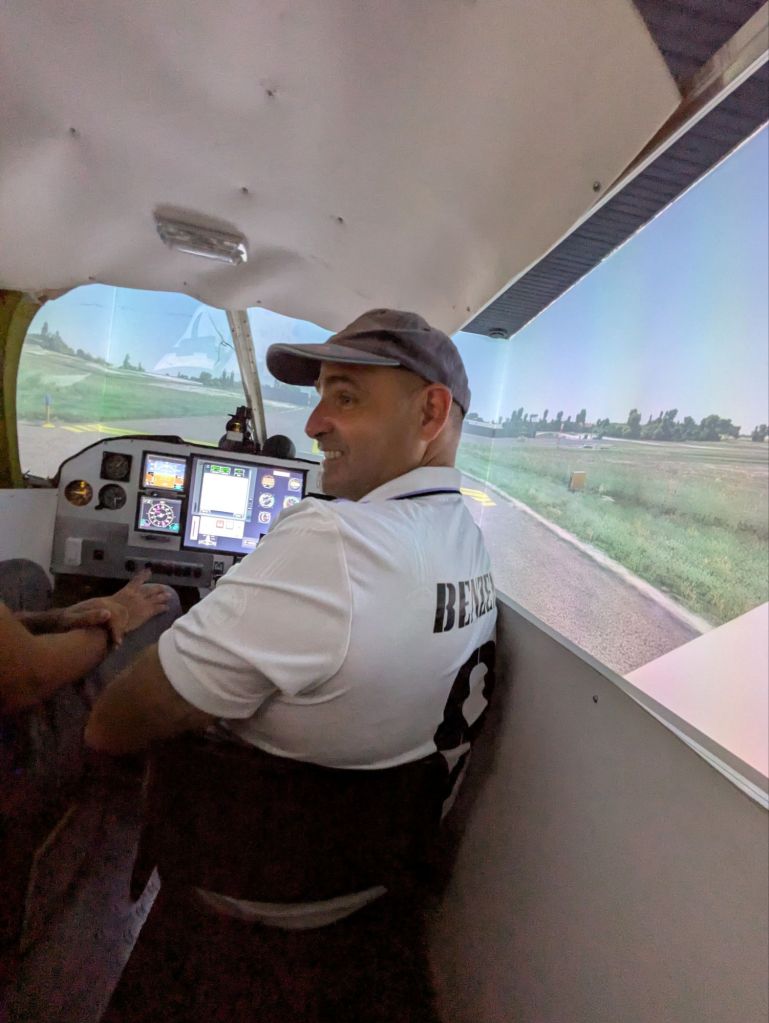
When we completed the circuit, we landed again at Cahors and shared a delicious lunch with the participants and members of the local aeroclub (very welcoming). They showed us as well the flight simulator they have developed in house to help with the training of new pilots.
Once, finished we bid our farewell and flew back to Toulouse.