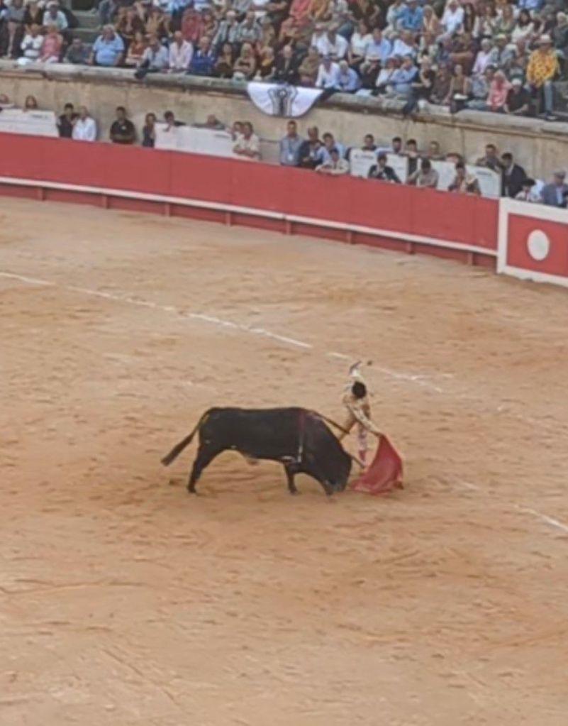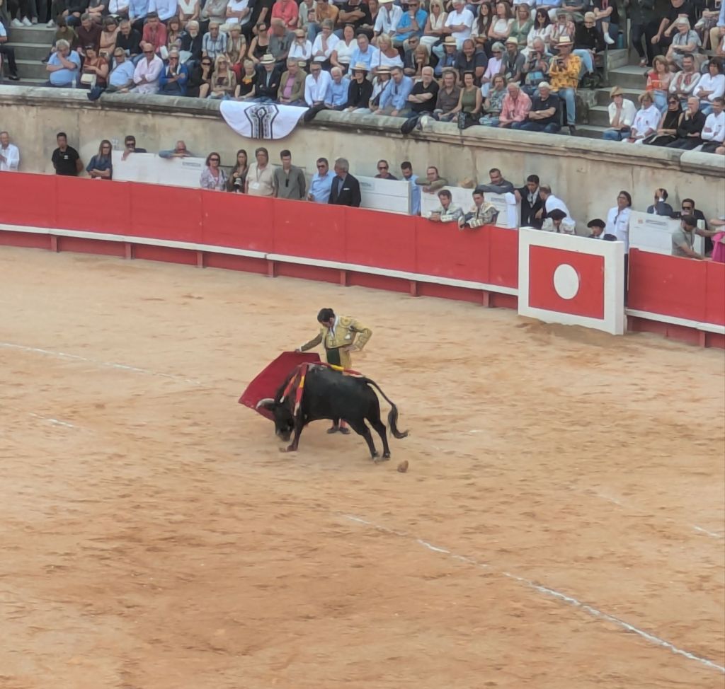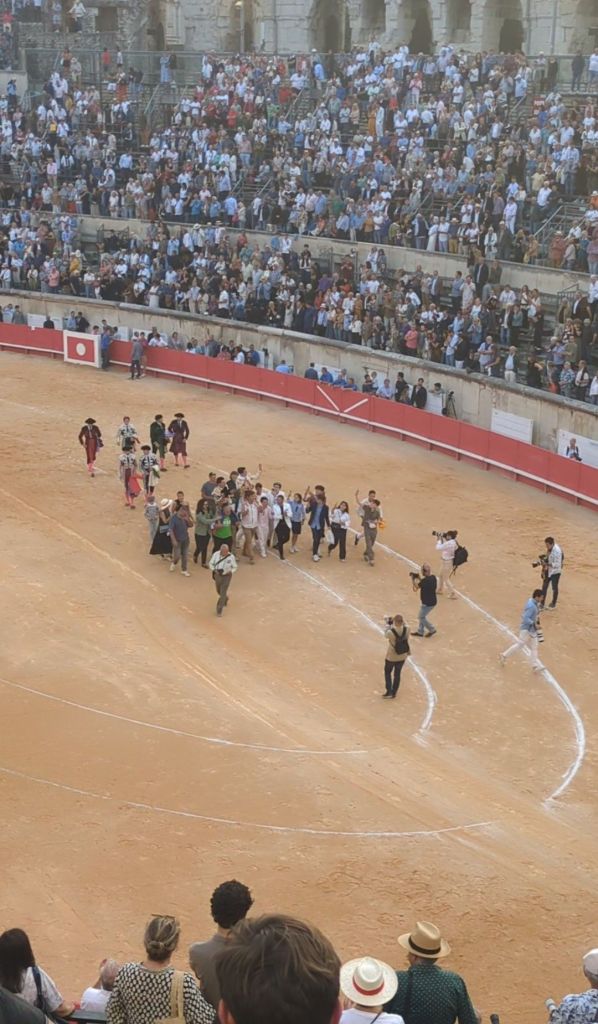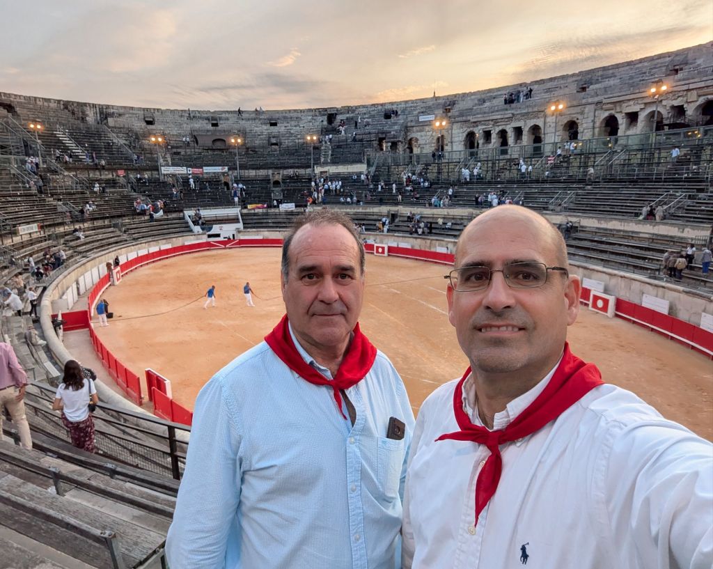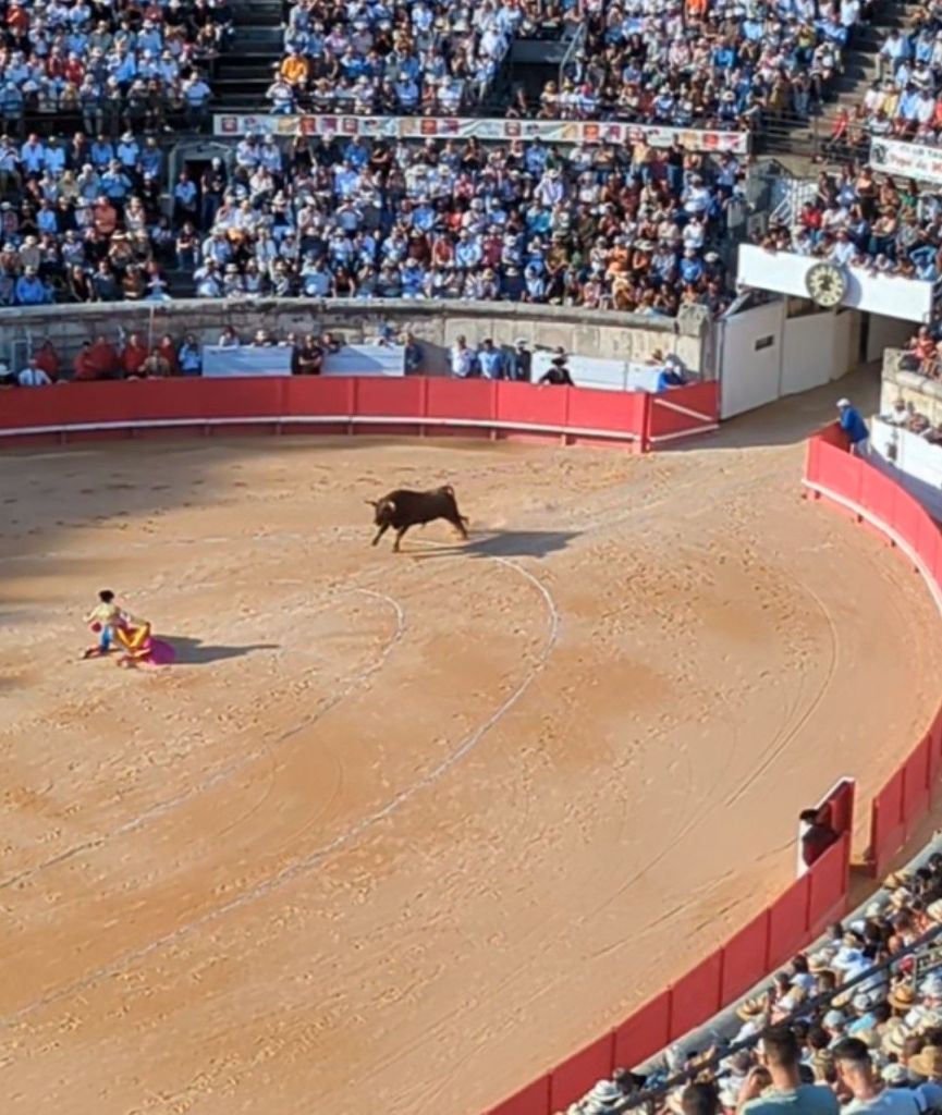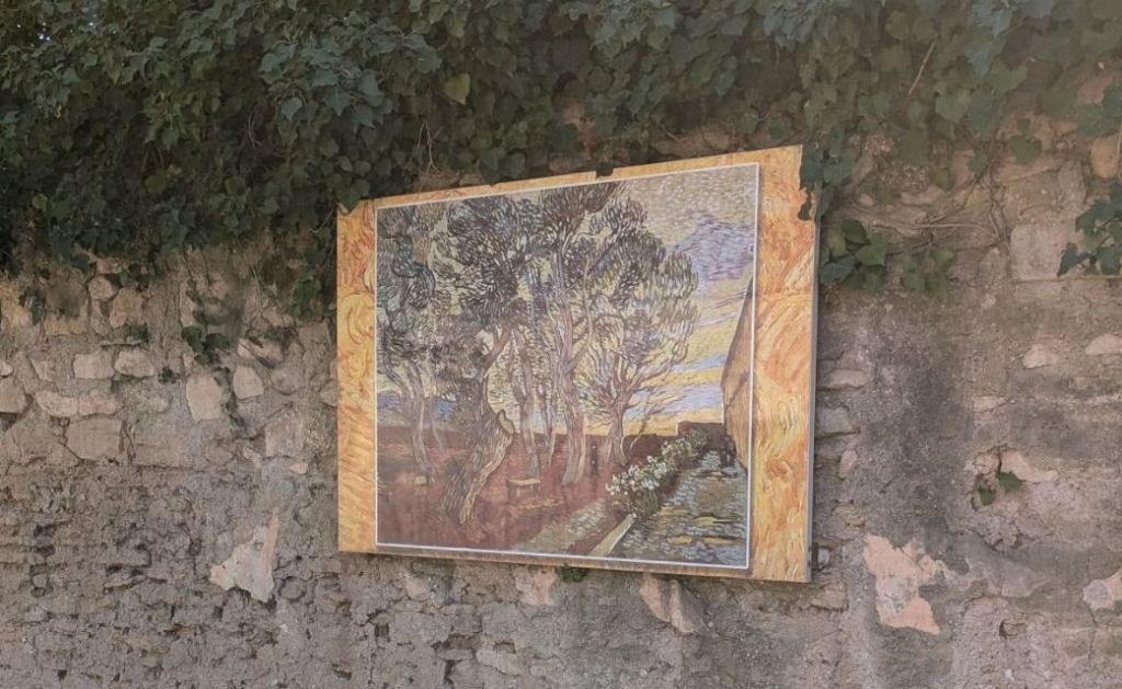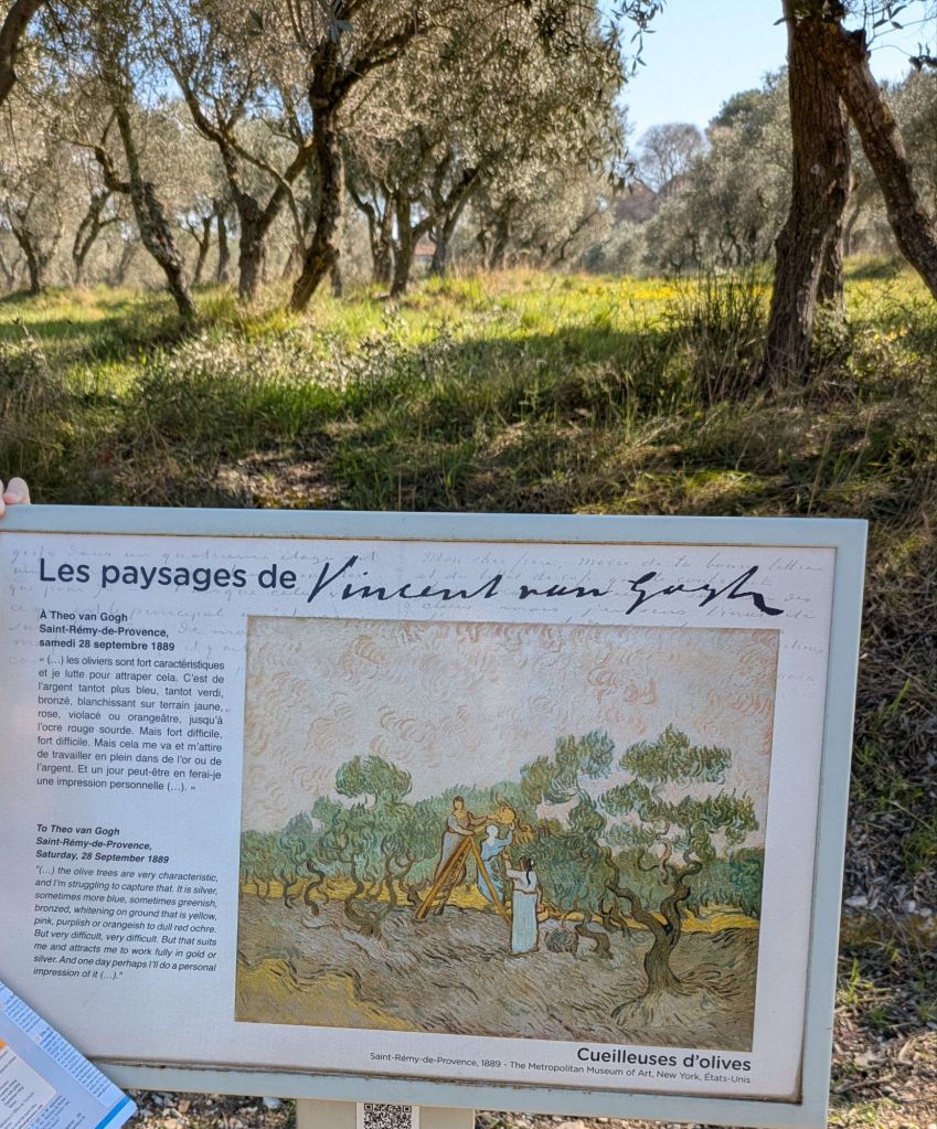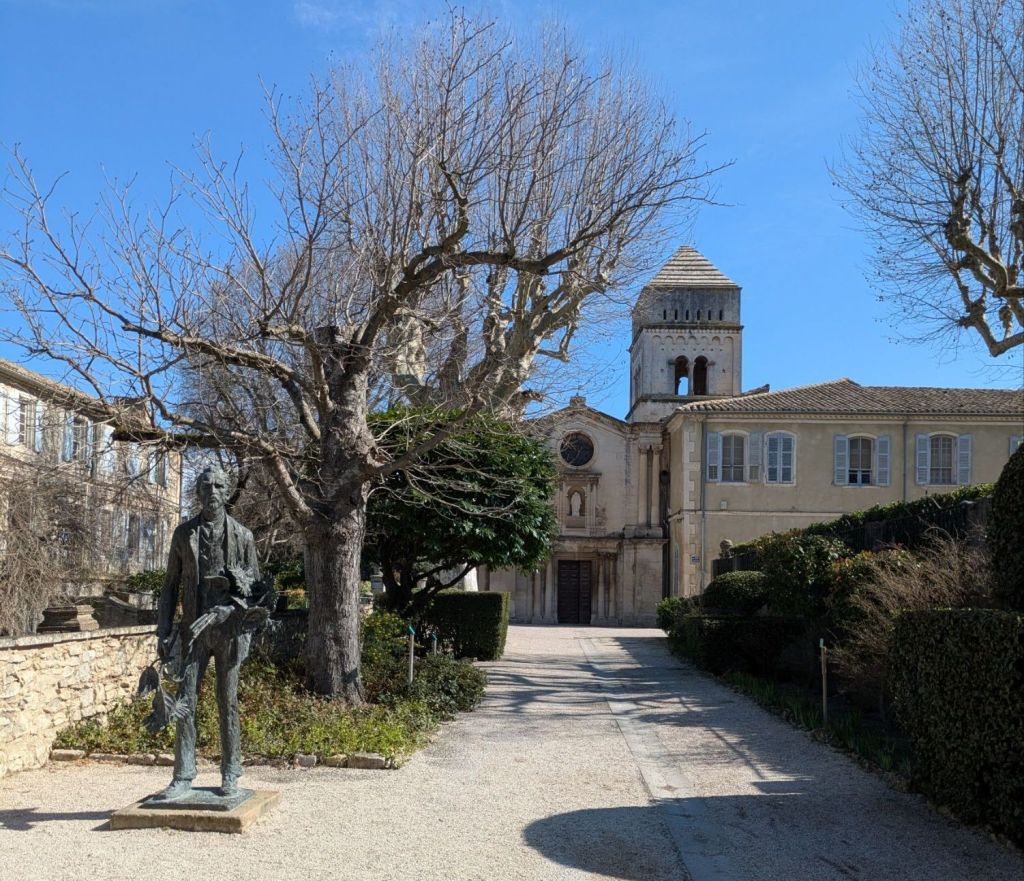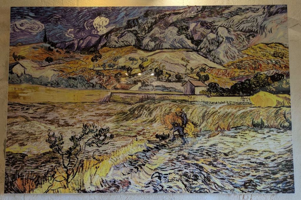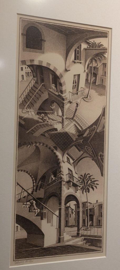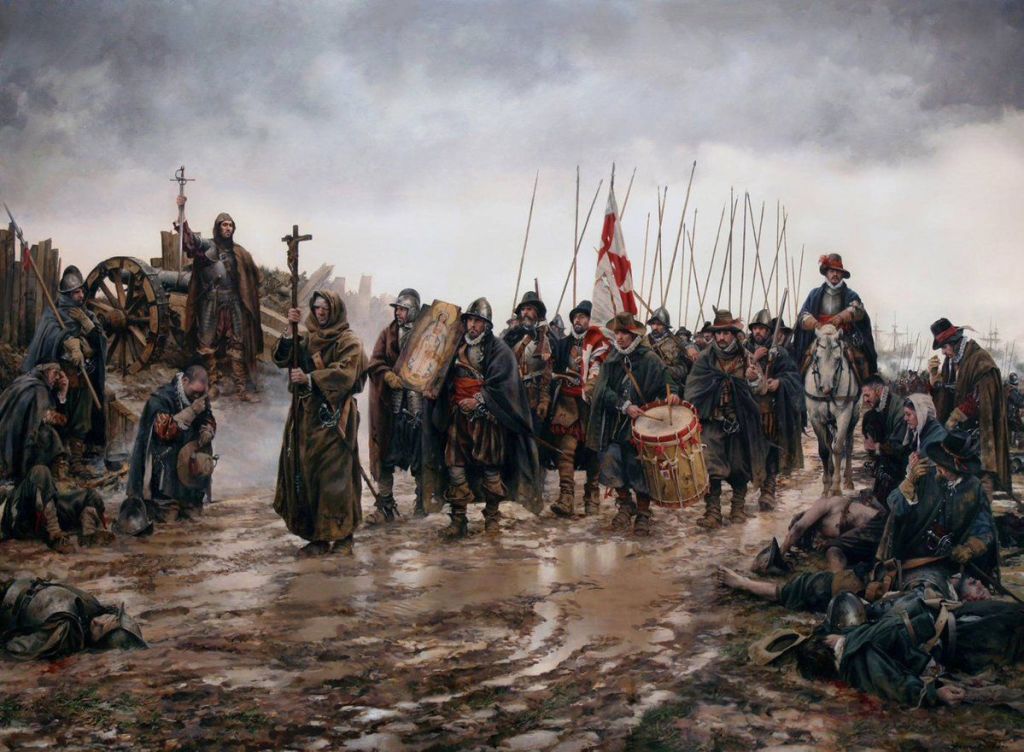
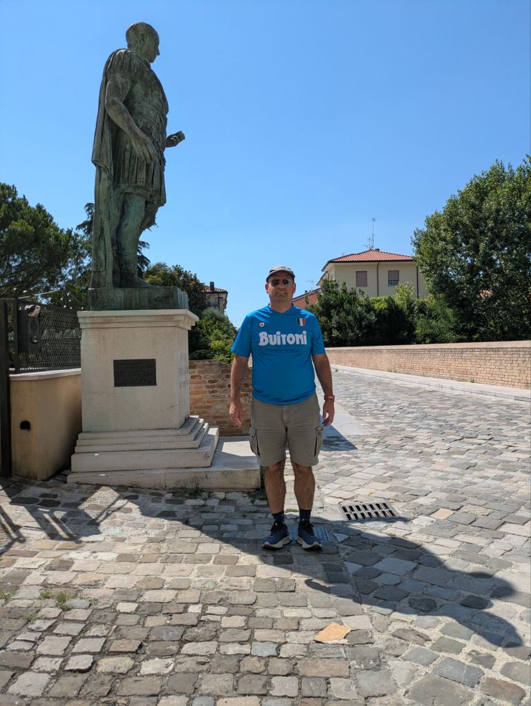
The expression “crossing the Rubicon” means passing a point of no return. It relates to the crossing of the river Rubicon by Julius Caesar in January (~10th) 49 BC. During last summer holidays in Italy we reenacted that crossing.
The crossing of the Rubicon by Caesar is described by Suetonius in his book “The lives of the Caesars” (we have at home a recent translation by the historian Tom Holland).
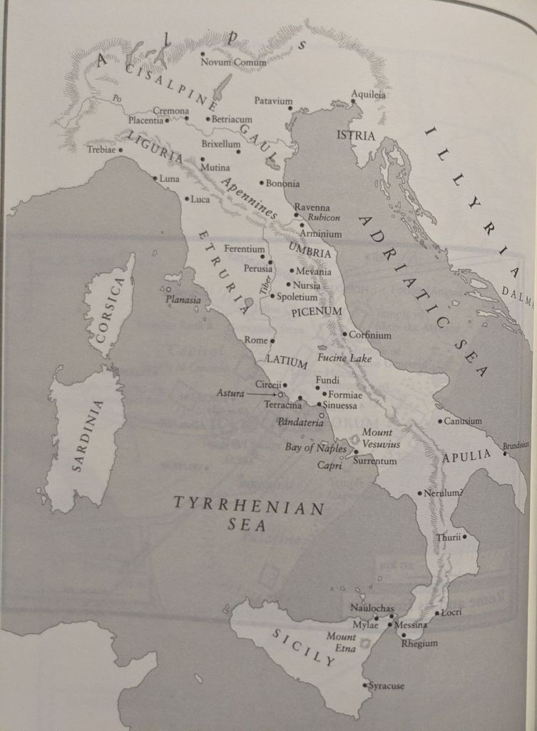
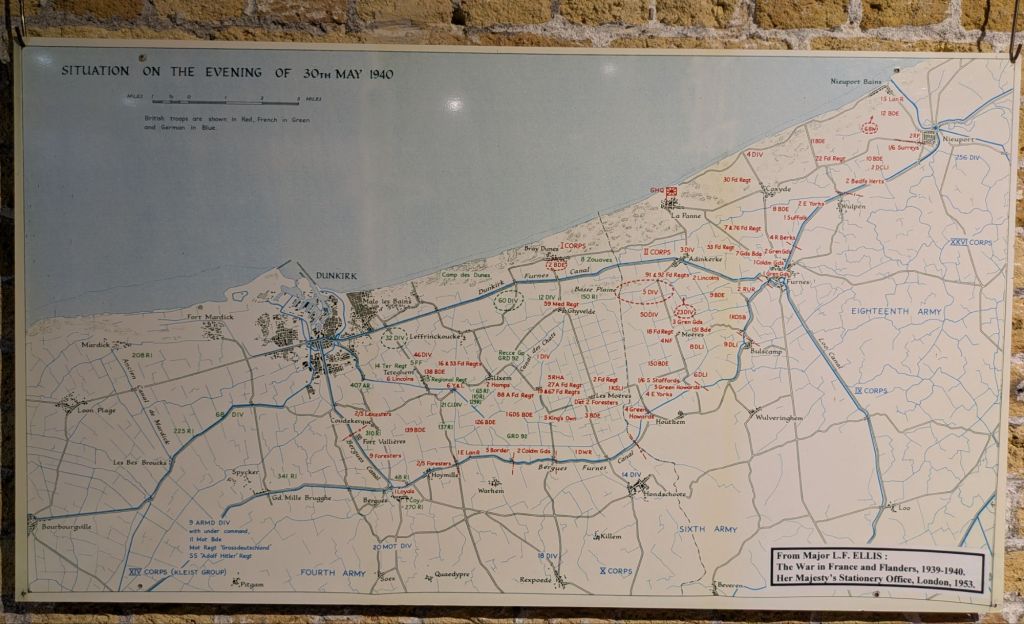
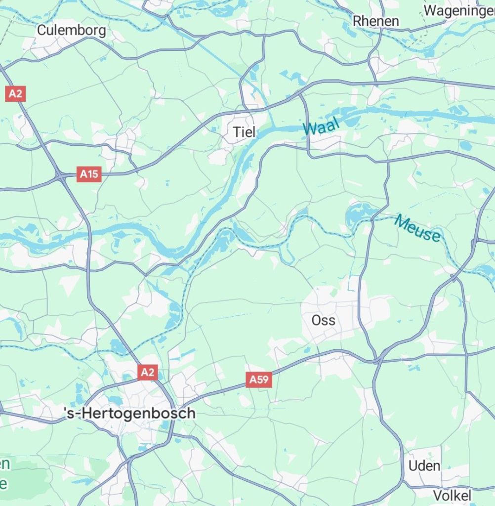
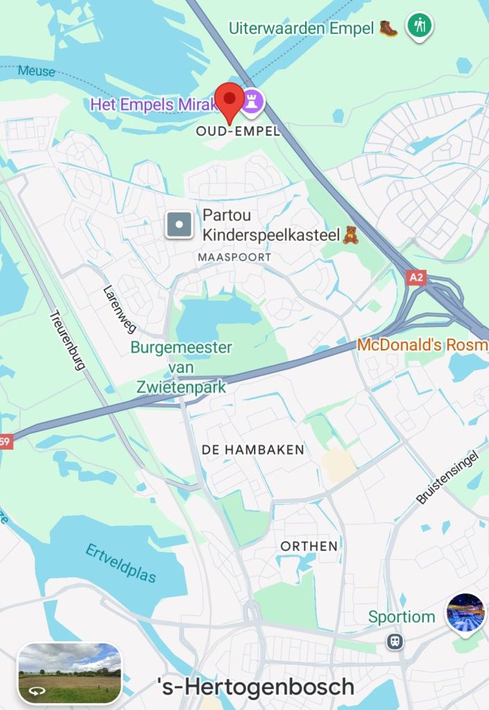
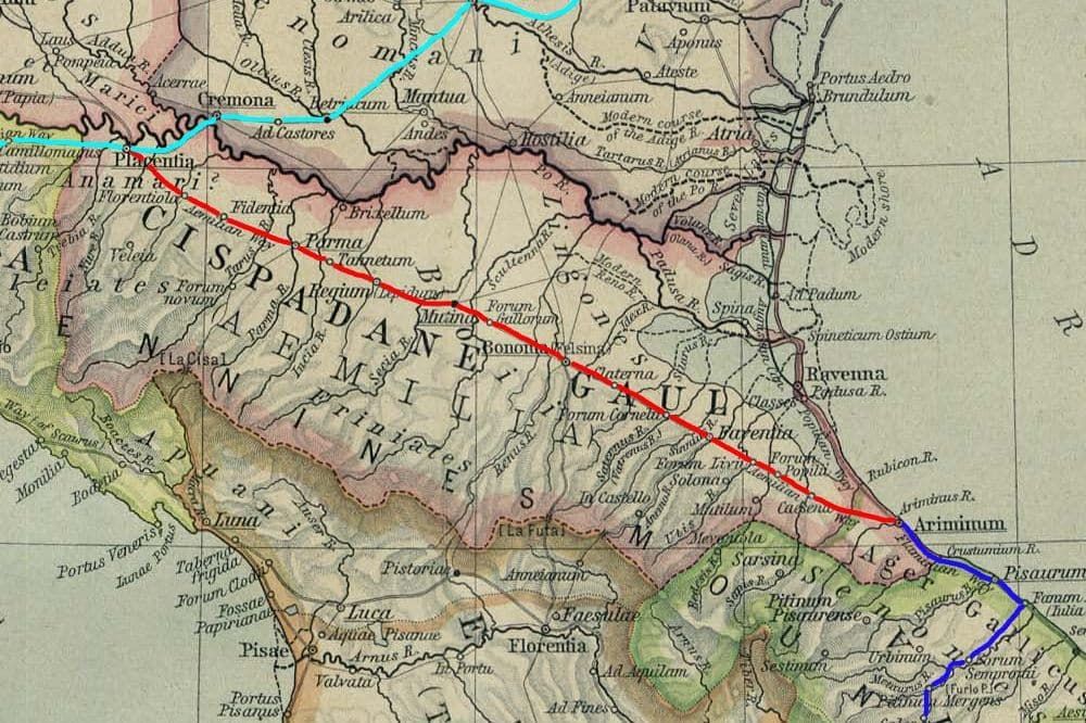
In the map, the river Rubicon can be seen South of Ravenna, flowing to the Adriatic sea. The river later was called Fiumicino until the 20th century when the name changed back to Rubicon.
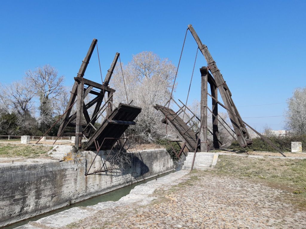
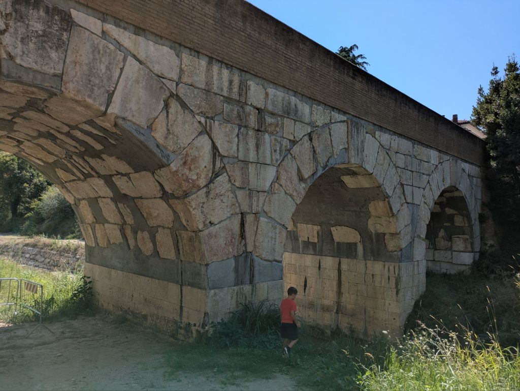
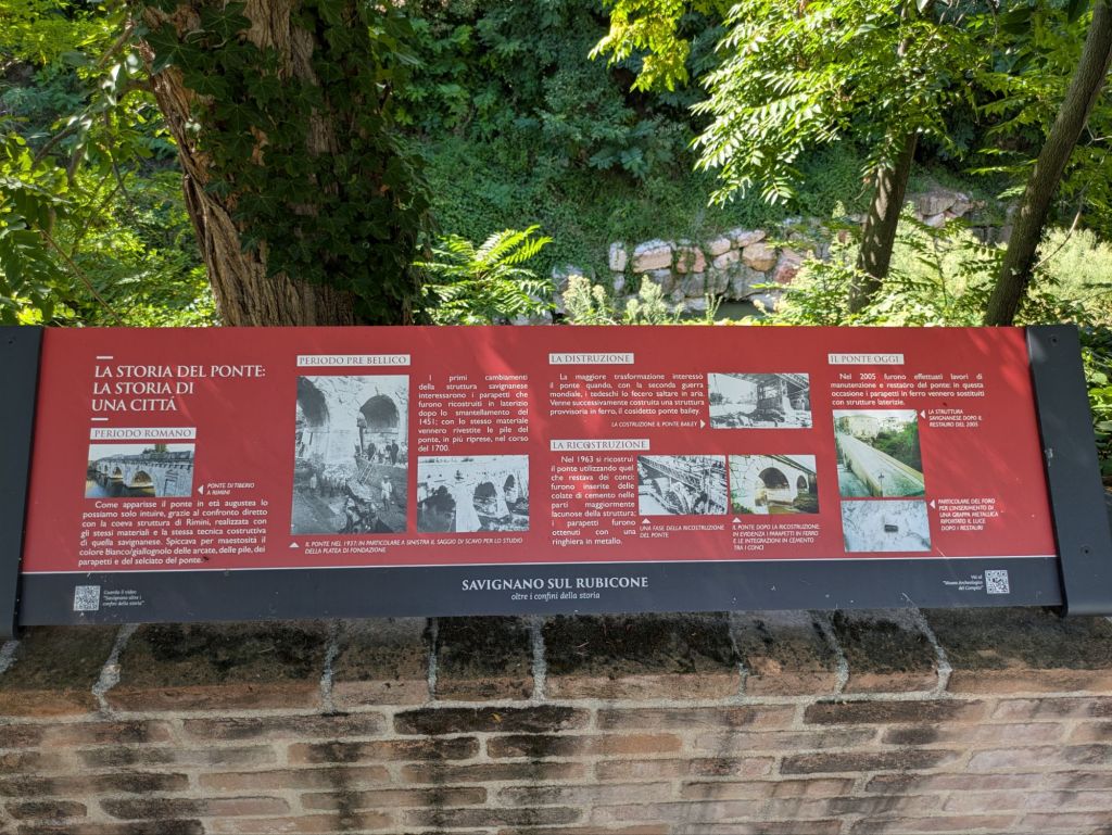
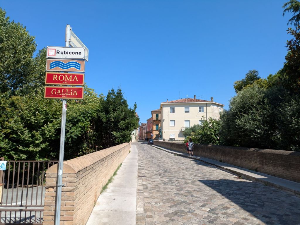
The course of the river is not the same as it was two thousand years ago and the exact location of the crossing is not surely known, though the more credible location is in the village which today is known as Savignano sul Rubicone. The former Roman road Via Emilia connected Bologna with Rimini, and the path is more or less preserved in the SS9 road, which crosses the Rubicon river in Savignano.
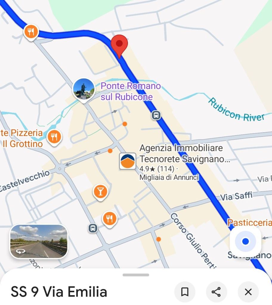
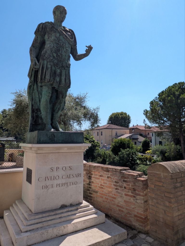
In the path of the former Via Emilia across the river there is a Roman bridge (which has gone through several renovations) where a statue of Julius Caesar is located.
I leave below some excerpts from Suetonius describing the events:
[…] he wrote letters to the senate, pleading with them not to deprive him of the special privilege granted him by the people; either that, or the senate should oblige other generals as well to divest themselves of their armies (he proposed this because he took for granted – or so it is thought – that he would find it easier to summon his veterans when the need arose than Pompey would to summon his raw recruits). Even as he was offering to disband eight of his legions and the command of Gaul north of the Alps, however, he demanded it as a condition from his enemies that he keep two legions and the province of Cisalpine Gaul, or else one legion and Illyria, until such time as he had become consul.
[30] When, however, the senate refused to engage with this proposal, and his enemies declared that they would never haggle over the security of the republic, he crossed into Nearer Gaul; there, after a circuit of the local courts, he made his base in Ravenna, with the intention of pressing his claim by armed force should the senate launch a crackdown on the tribunes of the plebs who were championing his cause. Such, at any rate, was the pretext he gave for civil war; but others think he had different motives. Gnaeus Pompey frequently used to say of him that because, as a private citizen, his income would be insufficient to complete the projects he had embarked upon, and to satisfy the expectations which the prospect of his return had aroused among the people, his goal was upheaval and chaos. Others say that he dreaded being compelled to give an account of all the auspices he had ignored, all the laws he had broken and all the tribunician vetoes he had flouted during his consulship – for Marcus Cato had repeatedly declared, and on oath too, that he would impeach him the moment he disbanded his army, and it was popularly anticipated that, should he return as a private citizen, then he would be obliged to answer the charges against him just as Milo had done, amid a ring of armed men. Evidence for this is provided by Asinius Pollio, who records that, as he gazed at the corpses of his enemies where they lay strewn across the battlefield of Pharsalus, he uttered these words: ‘They were the ones who wanted this – for not all my great achievements would have prevented them from finding me, Gaius Caesar, guilty, had I not had my army to turn to for backing.’ Some think he was so seduced by the habit of command that, after weighing up his own strength against that of his enemies, he seized the opportunity to grasp after the absolute power that he had been craving since the earliest years. This, it seems, was the opinion of Cicero, who writes in the third book of On Duties that two lines from Euripides were forever on Caesar’s lips (the translation is Cicero’s own):
For if the law must be broken, then let it be broken with the aim of winning a throne. Otherwise, show the law respect.
[31] So it was, the moment news reached him that the tribunes’ veto had been overridden and the tribunes themselves had fled the city, he ordered his cohorts to advance, but under cover, so as not to rouse suspicion; meanwhile, keeping his own intentions disguised, he attended a public festival, inspected the plans for a gladiator school which he was planning to have built, and hosted a well-attended dinner party, as he invariably did. Then, after the sun had set, and mules taken from a nearby mill had been harnessed to his carriage, he set out in the utmost secrecy, with only a modest retinue as company; for a while – because his torches had gone out, and he had lost his way – he blundered about, until, as the sky began to lighten, he located a guide, who led him on foot to where he needed to be; catching up with his cohorts on the banks of the Rubicon, the river which marked the frontier of his province, he paused for a while, revolving in his mind the sheer enormity of what he was contemplating, before turning to those nearest to him and saying: ‘Even now we could turn back. But once we have crossed that tiny bridge, everything will have to be decided by war.’
[32] Then, as he was hesitating, a wondrous thing happened: nearby him, a figure of remarkable size and beauty abruptly appeared, sitting and playing on a pipe; and when some of his soldiers – trumpeters and shepherds who had run to listen to the music, the apparition snatched the advance with a mighty blast, and crossed over to the far bank. Then Caesar spoke. ‘Let us go where we are summoned both by divinely authored signs and by the wrongs our foes have done us. The die is cast.’³⁹
[33] And so his army crossed the Rubicon; and he welcomed the tribunes who, following their expulsion from Rome, had come to join him, summoned the soldiers to an assembly, and then, weeping and tearing the garments from his breast, called on them to pledge him their loyalty. Some have thought that he went so far as to promise each and every one of them equestrian status – but this is incorrect. What actually happened is that, while he was giving his rallying cry to the troops, he would point again and again to a finger on his left hand, insisting that he would gladly tear the ring from it if only it would provide to those who were backing him in defence of his honour commensurate reward; but because those on the margins of the assembly – who could see him better than they could hear him – based their understanding of what he was saying on his gestures rather than on his words, the story spread that he had promised them all the right to an equestrian ring, plus 400,000 sesterces each.
[34] Here, in the order they happened, are the most significant things he went on to do. He seized Picenum, Umbria and Etruria; he defeated and then set free Lucius Domitius, the man who, on the outbreak of civil war, had been named his successor and had garrisoned Corfinium against him; he advanced along the Adriatic coast to Brundisium, which had been serving the consuls and Pompey as their bolthole, and from where they were planning to cross to Greece. Then, after the failure of all his various stratagems to block their escape, he made his way back to Rome and summoned the senate to discuss affairs of state, before heading for Spain, where he moved against three of Pompey’s legates (Marcus Petreius, Lucius Afranius and Marcus Varro), who between them commanded a formidable army. ‘First,’ as he had put it to his friends before setting out, ‘we will target the army without a general – and then, on our return, the general without an army.’ Sure enough, although he was delayed by having to lay siege to Massilia when the city closed its gates against him, and by a serious shortage of grain supplies, it did not take him long to bring everywhere under his control.
[35] From Spain he returned to Rome, then crossed to Macedonia, where he blockaded Pompey for almost four months behind massive siege works, before eventually defeating him in battle at Pharsalus and pursuing his fugitive rival to Alexandria…
[Note 39: In Latin, iacta alea est. According to Plutarch, in his life of Pompey, the phrase was ‘Let the die be cast’ (anerrhiphtho kybos): a quotation in Greek from the comic playwright Menander. Some editions of Suetonius, following this, accordingly amend Caesar’s famous saying to iacta alea esto.]