Last August 18th, together with some friends from the university we climbed with the bike the Col du Tourmalet, the mythic climb of the Tour de France in the Pyrenees. That was an excursion that I had been wanting to make since moving to Toulouse 8 years ago.

Training. I had bought a road bike 3 weeks before the climb. I used it 3 times, to ride in the roads of the Gers (France) close to home. I rode 21 km, 26 km and 60 km in each of those days, at average speeds of between 20 to 22 km/h. I then went on holidays with the children and could not train any more. When back to my home in France, a few days before the climb I preferred not to use the bike to avoid arriving to the Pyrenees with some muscle pain.
None of us was well trained for the challenge, so we were prepared for the worst. The day before, I think none of my friends was confident in being able to climb up till the end, though I kept telling them we would make it.
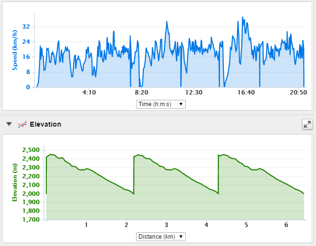
Route. We decided to climb it from the Western side, departing from the village Luz Saint Sauveur. From there the climb is a bit longer, 19.0 km, with an average slope of 7.4% with a maximum of about 10.2% near the end. We planned to only climb up and descend back home (~ 40 km), we would not simulate a longer Tour de France stage with several climbs. Just one. Below you can see the profile per kilometre.


We woke up early and had an average breakfast. The weather was good for the ride: fresh (14 degrees Celsius at 7:45 am, in the middle of August) and cloudy at the start from Luz. And 21 degrees at 11:45 at the top (at 2,115 metres of altitude) before starting the descent.


We first descended the 2.5 km between our hostel and the starting of the climb in Luz.
At 7:58 am we started the climb. We had rented a Scott Addict 10 (CD22) with a compact 50/34 crankset with 11x32 cassette (7.74 kg of weight). I did the complete climb without changing gears: 34 – 32. Since I was not well trained I did not want to push muscles any more than required by moving a more demanding combination (other colleagues did and had no problems either).

Kilometre zero at Luz St. Sauveur.
I decided on my own strategy for the climb the night before. In bed, I read some blogs about the climb and one rider recommended to mentally split the climb, in stretches of 15 minutes. So I did. Mentally and physically. I rode at a comfortable but steady pace about 15 minutes and then I took a pause of 3-5 minutes. And then again, and again. Not all colleagues did that. We saw other riders taking similar pauses, though I would say that early in the morning most riders were better prepared and rode faster and with less pauses than us. When we descended the climb we found more casual riders (or this is what it felt when you watched them climbing while you descended).

Pause at 1 km from the summit.
I found it hard, but bearable. The last 3 km had a more difficult profile, which added to the accumulated fatigue. The muscles were tired after each 15 minutes stretch but after the small pause we could continue without problem. I did not feel any pain, or had any cramps or injures. In that sense I found it less aggressive than marathons.


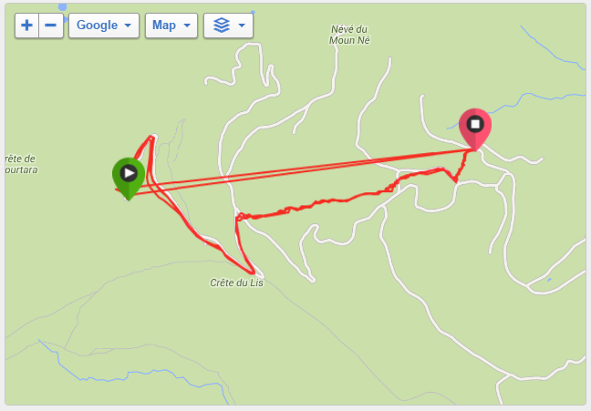
In all, it took us about 2h12′ riding from the bottom to the top (find here my Garmin record, which misses about 2 minutes in a ~400 m stretch of the 1st km). The pauses must have taken us another nearly 55 minutes in pauses, for a total time of about 3h10’ to reach the summit, at ~11h10 am. The average riding speed was 8.5 km/h, which started between 9 and 10 but at the end it was rather between 7 and 8.

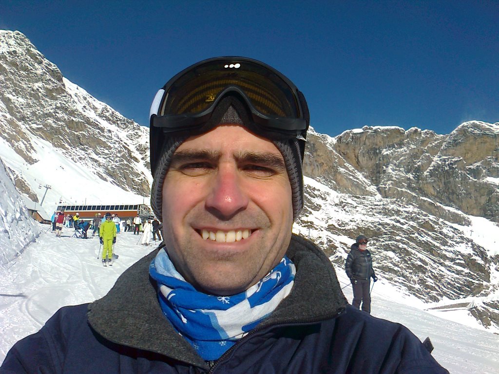
We then took some pictures, a coffee, a beer and had a chat at the cafeteria in the top.

The descent to our hostel (16.64 km, 2.5 km from the start) took me another 28 minutes at 35 km/h, as I did not take any risk.
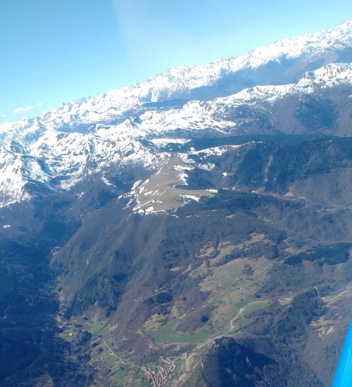
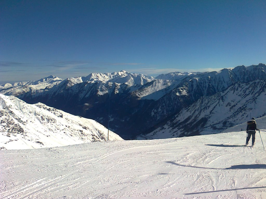
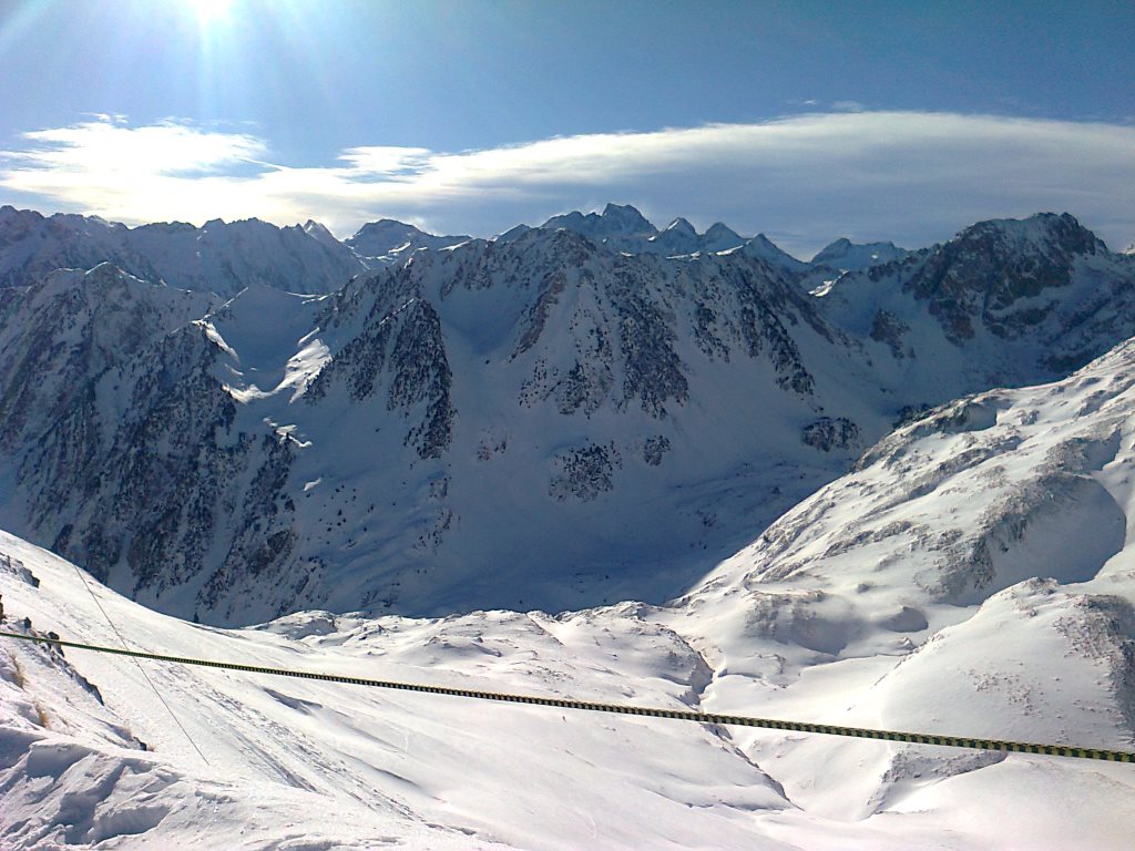
The experience was great. The views are breath-taking. The feeling of accomplishment very pleasant.

Some more practical comments:
The descent. I was afraid of being too cold but it went well (not so for other colleagues who felt more the cold). I wore one t-shirt, the short-sleeved cycling maillot and an over-sleeve.
The road. It is rather wide at most points compared to other mountain roads. Cars during the climb did respect very well the distances to overtake riders. The asphalt was in good condition. I imagine that due to the Tour de France and the skiing stations they do maintain the road in good conditions, renewing the asphalt every few years.
Water. I did not see it while riding, but at the station on km 12, where there is the telesiege “Caubere” there was a water fountain where you can refill your bottles. I did the refill with river water a bit later, in the km 15 close to the a second telesiege at the station Super Bareges.
Logistics – Housing. We booked rooms in advance at La grange du Bois. That is a chambre d’hotes off the village of Luz Saint Sauveur at about the 2nd km of the climb. It was big enough to accommodate our continuous demands for more beds, as in the end we were 13 adults and 8 children. The house has capacity for 33 people, though if you go in a big group you might have to share some rooms (with capacities for 5 and 6 people). The price was reasonable and included half board (~44 € per adult and night ).
Logistics – Bike rental. We all rented road or mountain biks for the occasion. We picked Ardiden Vélos at Luz Saint Sauveur, just 100 metres from the start of the climb. The rental for 24-h cost 55 € (for the higher scale and lighter weight model), this allowed picking and adapting the bikes the previous evening so we could start cycling early in the morning. The rental included helmets and pedals. It did not include water bottles, which you can bring yourself or buy at the same shop.
Excursions. The day after we went on an excursion to Cauterets and the Pont d’Espagne walking to the Lac d’Aube. We did not feel any muscle pain and had a good time there.
In the future, if I ever get to ride on bike often on weekends, I may give it another try.